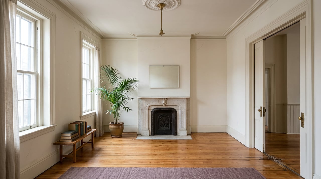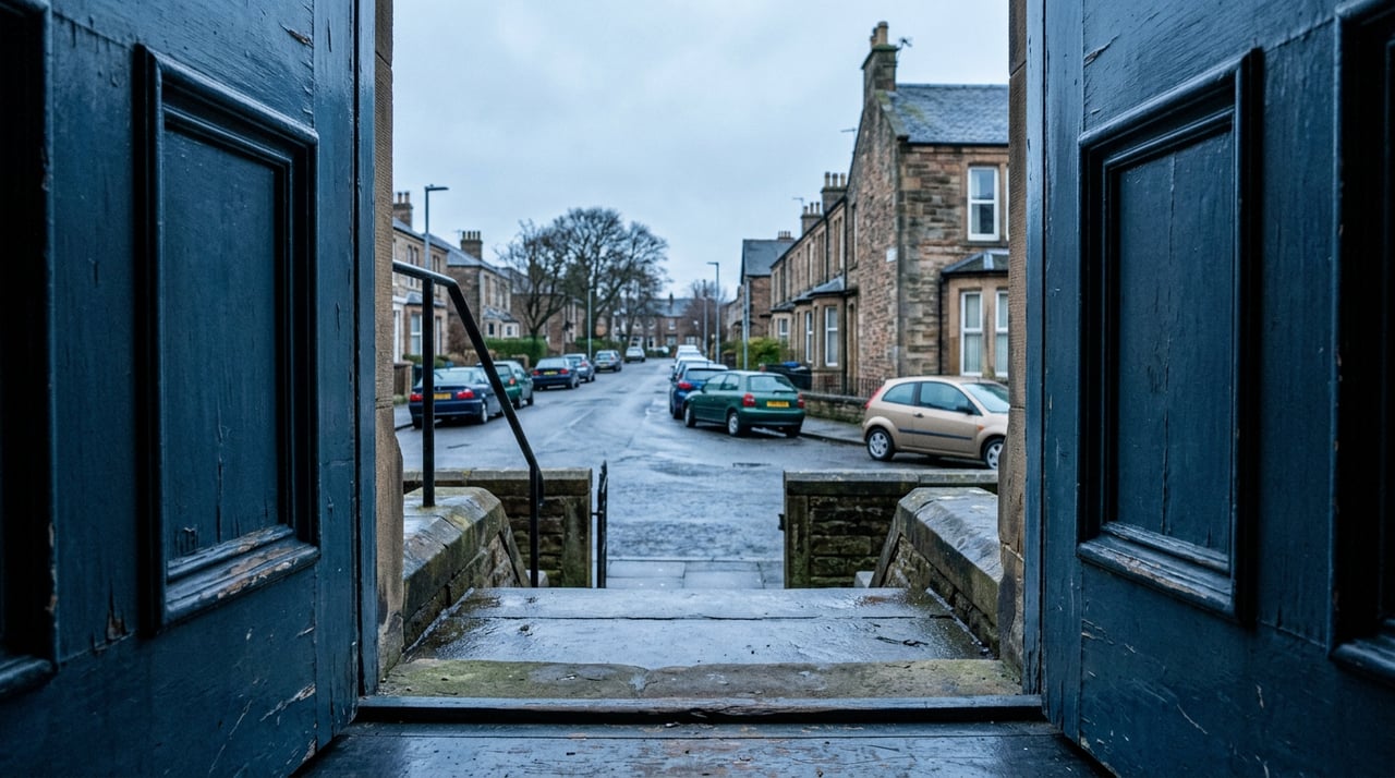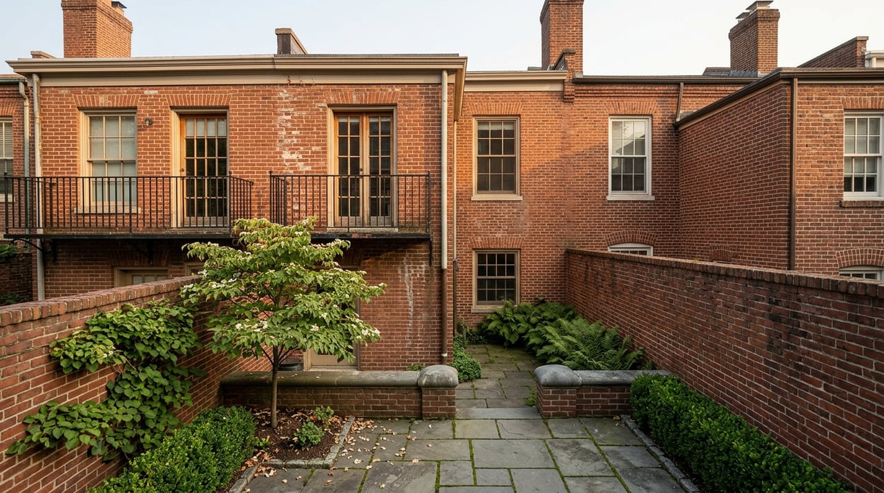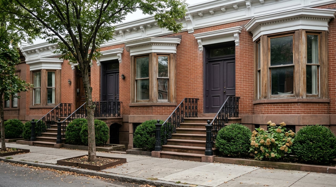
If you're touring a townhouse on Dean Street or Bergen Street in Crown Heights this fall, you've probably heard some version of the headline: the city just approved 4,600 new apartments for the neighborhood. It sounds like the kind of number that should change how you think about the block you're standing on. Is the quiet row of three-story brownstones about to sit in the shadow of new construction? Should that change your offer?
The honest answer is that it depends entirely on which side of a zoning line your block falls on, and that line is more specific than most coverage of the plan lets on.
What actually got approved
In May 2025, the New York City Council approved the Atlantic Avenue Mixed-Use Plan, known around Community Board 8 meetings as AAMUP. The plan rezones roughly 21 blocks running from Vanderbilt Avenue in Prospect Heights to Nostrand Avenue at the border of Crown Heights and Bedford-Stuyvesant, replacing zoning that had capped the corridor at one and two-story industrial buildings since the 1960s. The city's own estimate is 4,600 new homes, about 1,900 of them permanently affordable, backed by more than $215 million in newly committed funding for infrastructure and community investment. Council Member Crystal Hudson, who represents most of the area, has described it as more than a decade of advocacy finally reaching a vote.
That is the number everyone quotes. What gets left out of most coverage is that the plan does not touch every block the same way.
The map splits the corridor in two
Read the zoning breakdown closely and a pattern emerges. The north-south avenues, Bedford, Grand, and Classon, get rezoned to R7D and R6B, opening the door to mid-rise mixed-use buildings. Atlantic Avenue itself gets the biggest change: buildings along certain stretches can rise as tall as roughly 185 feet, close to 18 stories. The Bedford-Atlantic Armory site is being rezoned to C4-4L to allow future community-oriented development on that parcel specifically.
Then there are the side streets, Dean, Bergen, and Pacific, the east-west blocks where most of the neighborhood's rowhouse stock actually sits. Those get rezoned to R6B with height limits designed to hold the existing street wall in place. A community push for a hard 12-story cap on the avenue frontage didn't make it into the final deal, but the side-street height limits did.
That split is not an accident. It is the same tool Community Board 8 used once before in this exact neighborhood.
Crown Heights already ran this experiment
In 2013, the City Council approved the Crown Heights West Rezoning after residents flagged a specific problem: the existing zoning had let developers put up out-of-scale towers, including thirteen-story buildings on Bergen Street, St. Marks Avenue, and Classon Avenue, on blocks that were otherwise three- and four-story brownstones. The 2013 rezoning downzoned the side streets specifically to stop that pattern from continuing, while leaving the avenues more open to development.
AAMUP runs the same play on the blocks just north of that 2013 boundary. If you're evaluating a Crown Heights block today, the relevant question isn't whether the neighborhood as a whole is upzoning. It's whether your street was built to hold new height on purpose, or protected from it on purpose. Those are different markets wearing the same neighborhood name.
Where the new construction actually lands
| Street type | New zoning | What it allows |
|---|---|---|
| Atlantic Avenue frontage | Mixed-use districts, up to ~185 ft in stretches | High-rise residential and retail, replacing former industrial use |
| Bedford, Grand, Classon Avenues | R7D / R6B | Mid-rise mixed-use buildings |
| Dean, Bergen, Pacific (side streets) | R6B | Height limits matching existing rowhouse street wall |
| Bedford-Atlantic Armory site | C4-4L | Future community-oriented development |
A buyer looking at a townhouse two doors off Bedford Avenue is looking at a different fifteen-year outlook than a buyer looking at the same style of house mid-block on Dean Street between Franklin and Bedford. The first block sits inside the zone the city just opened up. The second sits inside the zone the city just locked down.
The exception even the protected streets have
Here's where it gets more specific, and where a buyer doing surface-level research would miss something. Even on Dean Street and Bergen Street, the streets held at R6B to protect rowhouse scale, the city carved out its own land. Two city-owned parcels, referred to in planning documents as Dean Park Edge and Bergen Green, are being developed into 100 percent affordable housing, together offering 262 units. A former Department of Education site on Nostrand Avenue is slated for 200 more units, and additional city and state-owned parcels on Pacific Street and Atlantic Avenue account for another 286 affordable homes.
None of that construction happens on private lots. If you're comparing a listing to a "brownstone block" nearby and that block happens to include a city-owned lot slated for one of these projects, the comparison isn't apples to apples. Those units aren't coming out of private redevelopment potential, and they won't show up as private-market comps when you're pricing a purchase or a future resale.
Why the city bothered with a map instead of one deal at a time
Before AAMUP existed as a single plan, this same stretch was already being rezoned one lot at a time. City planning records show that since 2019, the AAMUP study area had already seen seven separate private rezoning applications, plus three more rezonings in the blocks around it. Each of those was its own negotiation, with its own timeline and its own uncertainty for whoever owned the lot next door.
AAMUP replaces that pattern by setting the height and use rules for the whole corridor at once instead of negotiating them site by site. That's good for predictability if you're buying now. It also means the map itself, not the next headline about a single parcel, is the document worth reading before you commit to a block.
What to actually check before you make an offer
- Ask which zoning district covers the specific lot, not just the neighborhood name. NYC's Zoning and Land Use Map (ZoLa) shows current designations by address.
- If the property fronts Atlantic, Bedford, Grand, or Classon, expect construction activity, taller neighbors, and changing retail over the next several years as the plan builds out.
- If the property sits mid-block on Dean, Bergen, or Pacific, the R6B designation means new construction next door is capped at a scale matching the existing street wall, with the narrow exception of the specific city-owned parcels named above.
- Check whether a nearby vacant or underused lot is one of the sites named for 100 percent affordable development. That construction timeline and use are already set by the city, not by market comps.
If you're weighing a Crown Heights purchase against other central Brooklyn options, this same two-speed pattern is worth checking anywhere a comprehensive rezoning has passed recently, not just in this neighborhood. A first look at our Crown Heights neighborhood page or the adjoining Bedford-Stuyvesant page is a reasonable next step if you're trying to figure out where a specific block sits relative to this map.
FAQ
Does AAMUP change property taxes on side streets held at R6B? The rezoning itself changes what can be built, not assessed value directly. Any tax impact would follow from changes in market value over time, which is a separate conversation from the zoning designation itself.
When will construction on the Atlantic Avenue corridor actually start? The plan sets the zoning rules that make projects possible. Individual buildings still need site acquisition, financing, and permitting, so timelines vary lot by lot. Council Member Hudson's office holds update meetings with Community Boards 3 and 8 roughly twice a year to track implementation progress.
Does this affect Bedford-Stuyvesant too? Yes. The rezoning boundary reaches Nostrand Avenue at the Crown Heights and Bed-Stuy line, so a portion of the affected blocks sit on the Bed-Stuy side, represented by Council Member Chi Ossé.
Can a side-street brownstone ever be redeveloped taller under this plan? The R6B designation on Dean, Bergen, and Pacific sets a height ceiling tied to the existing street wall, so a standard private lot on those blocks is not opened up for the kind of height allowed on the avenues. The exception is the specific city-owned parcels the city has already designated for its own affordable housing projects.
Buying or selling on a block near this corridor raises questions a zoning map alone can't answer, from how a project's timeline might affect a sale to what a specific lot's designation means for its long-term value. If you want help reading a Crown Heights block against this map before you make a decision, The Dima Lysius Team is a good place to start that conversation.